The short answer
This site publishes 49 seed records — twenty rows in the coordinate table and twenty-nine archive cards from 2011 to 2019. Zero of the forty-nine use the word swamp, in any of its four common spellings: swamp, mangrove, marsh or bog. Two of the forty-nine name a village, and zero of the forty-nine name a village type, so there is no record here we can honestly call a swamp village seed. What we do have is water: 16 of the 49 name an ocean, and 3 of the 49 name standing water that is not ocean — a lagoon, a waterfall and an underground lake. Those three are the closest thing this site holds, and none of them names a village.
- The only water feature in the set with a coordinate on it:
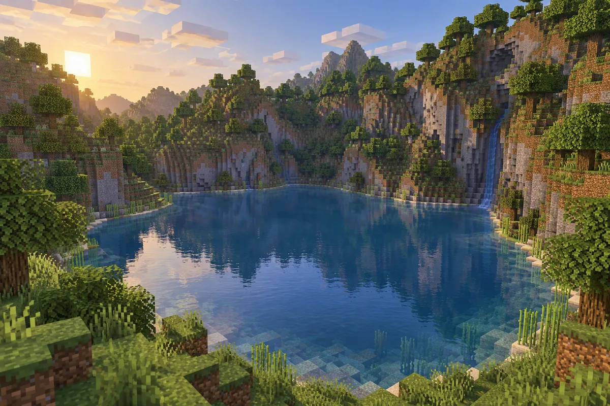
1385327417 — archive card posted 23 August 2011, Beta 1.3–1.7. Terrain as written: tall mountains, overhangs, and a lagoon. The lagoon is pinned at x=-170, z=290; the card calls it sheltered water ringed by high ground with wood on the slopes. Standing water Coordinate recorded No biome named No village
- The waterfall card:
10082011 — posted 27 November 2011, Minecraft 1.0. Island with a waterfall, pumpkins and a huge stone arch. Waterfall Pumpkins No village No coordinate
- The underground lake card:
5682930821 — posted 30 March 2011, Beta 1.3–1.7. A huge underground lake under tall overhanging cliffs. Underground lake No village No coordinate
- The only row with a village on it, for contrast:
2016000 — Java 1.20–1.21, village at -24, 64, 12, spawn on plains. Village at spawn Village type unrecorded No water feature named
The three standing-water records, one code each — 1385327417; 10082011; 5682930821
How we counted, before you read any number on this page
Every figure below counts records, not worlds. That distinction decides the whole page, so here is the rule in full, before any of the counts.
What a record is. Forty-nine of them. Twenty rows in the coordinate table, each one a seed somebody wrote down after loading it, with a seed code, an edition, a version and whatever structures they found; their source dates run from March 2020 to July 2026. Twenty-nine archive cards from 2011 to 2019, each one a seed code plus the terrain the person who found it described. Forty-nine records, and no invented entries among them.
What counts as mentioning a swamp. Four spellings of the same idea: swamp, mangrove, marsh and bog. A record qualifies if any of the four appears on it, either as a biome word or inside the name of a structure built out of that biome. Zero of the forty-nine qualify. We also checked two words that travel with swamp terrain, mud and clay, and both came back zero as well.
What counts as a swamp village. Strictly this: the record has to name a village and attach the swamp biome to it, or state outright that the village is a swamp village. Zero of the forty-nine do, and they fail on both halves of that sentence. Two name a village at all, and neither gives the village a biome label of any kind.
What counts as water. Three separate buckets, because lumping them together would hide the finding. Ocean is open salt water, and on an island record it is the default rather than a feature. Standing water is a lagoon, a lake, a pond, a river, a stream or a waterfall — water you can stand beside rather than water you have to cross. Edge words are beach, shore, bay and waterside, which describe where land meets ocean and say nothing about what is on the land.
The zero, in four spellings, across 49 records and 25 pages
Four words, two sources, one result. This is the complete audit — there is no fifth spelling hiding behind it.
| Word |
Records out of 49 |
Pages out of 25 |
What that means |
| swamp |
0 |
0 |
Not one record we publish uses the word, in any form |
| mangrove |
0 |
0 |
Zero. The swamp variant that came with later terrain is absent too |
| marsh |
0 |
0 |
Zero, including in the older cards where the word was common |
| bog |
0 |
0 |
Zero |
| mud |
0 |
0 |
Zero — checked because it travels with swamp terrain |
| clay |
0 |
0 |
Zero — checked for the same reason |
| Names a village at all |
2 |
— |
2016000 and -7492801512473941435 |
| Names a village type |
0 |
— |
Zero of forty-nine, for any biome, not just this one |
The twenty-five pages in the second column are the twenty-five this site had published before this one — twenty-four guides plus the home page. This page is the twenty-sixth, and it is the first on which any of the six words above appears at all. So the zero is not an artifact of one file — it is the state of the whole record.
And the last two rows are where the search term dies. A swamp village needs two things written down on the same record, a village and a biome, and our set has two of the first and zero of the second. There is no overlap to report, because one side of the overlap is empty.
It is not an age gap: the newer half is empty too
The obvious excuse for a zero like this is that the old cards predate the biome. The record does not support that excuse, and the reason is worth one paragraph.
The twenty-nine archive cards were posted between 2011 and 2019. The twenty table rows carry source dates from March 2020 to July 2026, and were written down by people testing on Java 1.18 through 1.21 and on current Bedrock. If the zero were only about age, the newer half would carry the word and the older half would not. Instead both halves return zero for all four spellings, and the newer half — the one written on the terrain players actually run now — is the half that had every chance to write it down.
So we are not going to explain the zero away. The honest statement is narrower: forty-nine records were written down by people looking for islands, and not one of them recorded a swamp. What that says about how often the biome appears next to an island spawn is not something this page can answer, because we have not scanned for it and we are not going to estimate a rate from a set that was never built to measure one.
The water we do have: 16 oceans, 3 standing waters, 4 edges
Water is everywhere in this record and a biome is nowhere in it. That contrast is the finding, so here it is counted out.
| Bucket |
Records out of 49 |
Which records |
What it actually tells you |
| Ocean (open salt water) |
16 |
13 of 20 table rows and 3 of 29 cards |
That you are on an island. It is the default here, not a feature. |
| Standing water (lagoon, lake, pond, river, stream, waterfall) |
3 |
1385327417 lagoon; 10082011 waterfall; 5682930821 underground lake |
That there is water you can stand beside. This is the nearest thing we hold. |
| Edge word (beach, shore, bay, waterside) |
4 |
Row 14 stone shore; row 20 beach; card 4 waterside; card 12 bays |
That land meets water. It says nothing about what is on the land. |
| Generic water word on a card, in any form |
6 cards, 0 rows |
Cards 2, 4, 11, 13, 14 and 24 |
That water was worth mentioning. Six cards thought so; not one table row did. |
Two things stand out when you read it this way. First, the twenty table rows — the newer, more structured half of the record — never use a water word that is not ocean. The only three water-shaped words on them are stone shore on row 14, beach on row 20 and a lava lake on row 17, and a lava lake is not water. Second, the three standing-water records are the only place in the whole set where the surface holds water in a shape you can walk around, and all three of them are cards from 2011.
None of the three is a swamp. A lagoon ringed by high ground is not a swamp, a waterfall is not a swamp, and an underground lake is not a swamp. We are listing them because they are the closest records we can point at without inventing one, not because they answer the search term.
The lagoon card, read in full
Of the three, 1385327417 is the one worth reading closely, because it is the only water feature in the entire set that carries a coordinate. Here is what the card says and what it leaves out.
| What the card says |
What the card does not say |
| Tall mountains, overhangs, and a lagoon |
What biome the lagoon sits in. The card names the shape of the water and never the biome under it. |
| Lagoon at x=-170, z=290 |
Where you land. The coordinate marks the water, not a spawn point, so there is no distance that can be worked out from it. |
| “Sheltered water, steep walls, and wood on the slopes” |
How much wood, and what kind. Wood on the slopes is a description, not a count. |
| “This is the survival island fantasy done properly” |
Why. The card records a verdict and not the terrain that produced it. |
| Posted 23 August 2011, Beta 1.3–1.7, found by Sir_Veillance |
Whether it still generates that way. The version range ends more than a decade before the newest rows in our table. |
| No village named anywhere on the card |
Anything at all about a settlement. The card is water and rock and nothing else. |
So the honest reading is: somebody in 2011 found sheltered water with wood on the slopes around it, wrote down where the water was, and never said what biome they were standing in. It is the single best water record we hold, and it is exactly as far from a swamp village as the rest of the set, because the two fields the search term needs are the two it never fills in.
What we will not claim
- We do not have a swamp village seed. Zero of the forty-nine records use the word swamp and zero of them name a village type, so there is no record here we can honestly label that way. We are not going to relabel a lagoon to fill the slot.
- We are not calling any of the three water records a swamp. A lagoon, a waterfall and an underground lake are three different things from a swamp biome. They are here because they are the nearest records we hold, and near is not the same as same.
- We are not saying the other forty-six records have no swamp. A record that never mentions a biome has said nothing about that biome. Silence is not a negative result, and we are not going to read one into it.
- We are not estimating how rare a swamp next to an island is. We have not scanned for it. A rate taken from forty-nine records gathered for a different question would be a guess dressed as a finding.
- We have not re-loaded any of the three cards on a current release. Two sit on Beta 1.3–1.7 and one on Minecraft 1.0. What generated in 2011 is a record of 2011, not a promise about the version you run.
- We are not ranking these seeds. No score, no tier, no ordering. Zero swamp words, three standing waters, two villages, zero village types — those are counts, and a count is not a grade.
Five checks before you call a code a swamp village seed
Five checks, in the order we run them on a record before repeating anything off it. Each one is answerable from the record itself, in about a minute, without loading a world. The point is to separate a code that puts you in a swamp village from a code that has water somewhere on it.
| Check |
The question |
What it catches |
How our record scores |
| 1 |
Does the record name the biome at all, rather than a shape of water? |
Lagoons, lakes and waterfalls sold as swamps |
0 of 49 pass — no record names the biome |
| 2 |
Does the record name a village? |
Water features with no settlement anywhere near them |
2 of 49 pass — 2016000 and -7492801512473941435 |
| 3 |
Does the record attach the biome to the village, rather than to the terrain around it? |
A biome near a village sold as a biome village |
0 of 49 pass — zero name a village type |
| 4 |
Does the record pin the water feature to a coordinate? |
Water you have to find again from scratch every run |
1 of 3 water records pass — 1385327417, lagoon at x=-170, z=290 |
| 5 |
Does the record name a version you can still match to the game you run? |
Records from a terrain generator that no longer exists |
0 of 3 water records pass — all three name a version, none is current |
Checks 1 and 3 are the ones that fail everywhere, and both fail on a field rather than on a world. Check 4 is the one that decides whether you can plan: a coordinate tells you where the water is, and only a spawn point tells you how far you have to walk to reach it. On the lagoon card we have the first and not the second, which is why this page prints no distance anywhere on it. Check 5 fails on all three for the same reason the rest of the archive does — the numbers are recorded and the terrain generator they belong to is not the one you are running.
The four records, in full
Lagoon Ringed by High Ground — 1385327417
Edition and version: Beta 1.3–1.7, posted 23 August 2011, found by Sir_Veillance. Terrain as written: tall mountains, overhangs, and a lagoon. Coordinate: lagoon at x=-170, z=290 — the only water feature in our whole set that is pinned to a number. Notes on the card: sheltered water, steep walls, and wood on the slopes; the card calls it the survival island fantasy done properly. Village: none named. Why it is here: it is the closest record we hold to what a swamp search is actually looking for — standing water you can build beside — and it is also the clearest example of a record that pins a feature and never names a biome. Standing water Coordinate recorded No biome named No village
Waterfall, Pumpkins and a Huge Arch — 10082011
Edition and version: Minecraft 1.0, posted 27 November 2011, found by BronzeEagle. Terrain as written: island with a waterfall, pumpkins and a huge arch. Coordinate: none recorded. Village: none named. Why it is here: it is one of only three records in forty-nine that name water you can stand beside rather than water you have to cross, and the only one where the water is moving. Pumpkins on an island spawn are food and a way to build a defensive line before the first night. Waterfall Pumpkins No village No coordinate
Underground Lake and Overhanging Cliffs — 5682930821
Edition and version: Beta 1.3–1.7, posted 30 March 2011, found by Nytraz. Terrain as written: huge underground lake, tall overhanging cliffs. Coordinate: none recorded. Village: none named. Why it is here: the card itself says the lake is big enough to be the feature rather than a footnote, and the cliffs above it give you a build site with a view. It is standing water, and it is underground, which makes it the furthest of the three from anything a swamp search wants. Underground lake Cliffs for building No village No coordinate
The Only Village Row — 2016000
Edition and version: Java 1.20–1.21, with a second row for Bedrock 1.20.5. Village: -24, 64, 12, described on the row as twelve houses, two blacksmith forges, one church and two farms, with no type named. Spawn: 0, 63, 0, on plains. Water: none named anywhere on the row — no ocean, no lake, no shore, nothing. Why it is here: it is the one record in the set that has the village half of the search term and it still has none of the swamp half, which is the cleanest way to show that the two halves never meet on a single record. Village at spawn Layout recorded Village type unrecorded No water feature named
First ten minutes on a water-heavy island when there is no swamp
If you load one of the three codes above, you are starting beside standing water in a version that is more than ten years old. That combination decides the first ten minutes, and the order below is built from what the cards actually say.
- Walk to the water first, because on the lagoon card you know exactly where it is.
1385327417 pins the lagoon at x=-170, z=290. No other water feature in our forty-nine records has a number on it, so this is the one case where the walk is planned before you take a step.
- Do not expect the water to feed you. Row 20 in our table,
2013, is the reminder: beach and grass, seven trees, no passive mobs, and three wheat seeds from breaking grass. Water beside you and food in front of you are two different problems, and only one of them is solved by a shoreline.
- Take the wood on the slopes before you take the view. The lagoon card says wood on the slopes and never says how much. On an island record with no tree count, the first tree you can reach is the whole plan, and you cut it after you have a sapling in your pocket.
- On the waterfall card, pumpkins are the crop that matters.
10082011 records pumpkins on the island alongside the waterfall and the stone arch. Pumpkins are food that stacks and a build material, and they do not need a village to obtain.
- Treat the underground lake as a second-day project.
5682930821 puts the lake under tall cliffs with no coordinate on it, so you would be digging toward a feature you cannot navigate to. Surface wood comes first.
- Check the version before you check the terrain. Two of the three cards sit on Beta 1.3–1.7 and one on Minecraft 1.0. If you load them on a current release and the water is not where the card says, that is the version talking, not a broken code — and it is the same failure mode as a friend's seed not working for you.
- Write the biome word down when you get there. Forty-nine records, zero biome words on the water ones. If you load a lagoon or a lake and it turns out to be a swamp, the single most useful thing you can add to this record is the word itself.
Running a water-heavy spawn with other people
Everything on this page is an audit of written records, and it stays true on a shared world with one addition: standing water is the thing everybody wants to build next to, and on a server that becomes a land dispute before it becomes a base. On the lagoon card the whole feature is one sheltered basin ringed by high ground, which is exactly the shape a group will crowd into — so the useful thing to agree before anyone places a block is who builds on the water and who builds on the slopes above it.
If you want to run one of these with other people, on Java or Bedrock, Shockbyte is a low-cost host that sets up in minutes — use code LAUNCH for 25% off your first month. If you sign up through that link, I may receive a commission at no extra cost to you. It does not change what you pay.
Frequently asked questions
Do you have a swamp village seed?
No. We publish forty-nine seed records, zero of which use the word swamp in any form, and two of which name a village. Since none of the forty-nine names a village type either, there is no record here we can honestly label a swamp village seed. The three nearest records name standing water instead: a lagoon, a waterfall and an underground lake.
How many of your records mention a swamp?
Zero out of forty-nine. We checked four spellings of the idea — swamp, mangrove, marsh and bog — across twenty rows in the coordinate table and twenty-nine archive cards, and every one came back zero. Two related words came back zero as well: mud and clay. The twenty-five pages this site had published before this one also returned zero for all four words.
What is the closest thing you have to a swamp?
Three records that name standing water rather than open ocean: 1385327417, an archive card posted 23 August 2011 whose terrain reads tall mountains, overhangs and a lagoon, with the lagoon pinned at x=-170, z=290; 10082011, a 2011 card with a waterfall, pumpkins and a huge stone arch; and 5682930821, a card recording a huge underground lake under tall overhanging cliffs. None of the three names a biome and none names a village.
Does any of your records name a village type?
Zero out of forty-nine. A record counts as naming a village type only if it attaches a biome word to the village itself, and none of them do. Two of the forty-nine name a village at all — 2016000 on Java 1.20–1.21 and a 2013 archive card — and neither says plains, desert, jungle, taiga, savanna or swamp.
How many of your records name a village at all?
Two out of forty-nine. One is table row 1, 2016000 on Java 1.20–1.21, which puts a village at -24, 64, 12. The other is an archive card posted 26 July 2013, -7492801512473941435, whose terrain line names an NPC village. The other forty-seven records do not mention a village at all.
Why does your record have so much ocean and no swamp?
Because almost every record here is an island record, and an island record is surrounded by ocean by definition. Sixteen of the forty-nine name an ocean: thirteen of the twenty table rows and three of the twenty-nine archive cards. Water is therefore the most common word in the set, and the swamp biome is the one place where water and land mix on the surface — so the gap is a gap in the field, not a gap in the terrain.